 vesseltracker.com
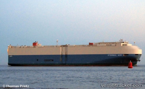
Vessel 'SHONAN MARU NO2' IMO: 9606479, MMSI: 431934000
UTC, -25.38319, 112.54148, course: 2, speed: 19
UTC, -24.91521, 112.53975, course: 0, speed: 19.1
2026-02-11 09:32:55 UTC, -24.49680, 112.53973, course: 3, speed: 18.9
Live AIS position:
UTC. 106 nm SW of Coral Bay),
updated 2026-02-11 09:32:55 UTC.
Find the position of the vessel 'SHONAN MARU NO2' on the map. The latter are known coordinates and path.
marine traffic ship tracker show on live map
The current position of vessel 'SHONAN MARU NO2' is -24.49680 lat / 112.53973 lng. Updated: 2026-02-11 09:32:55 UTCDetails:
Last coordinates of the vessel:
UTC, -25.39666, 112.54109, course: 2, speed: 19.2UTC, -25.38319, 112.54148, course: 2, speed: 19
UTC, -24.91521, 112.53975, course: 0, speed: 19.1
2026-02-11 09:32:55 UTC, -24.49680, 112.53973, course: 3, speed: 18.9